
Fortresses of the four Lunetten
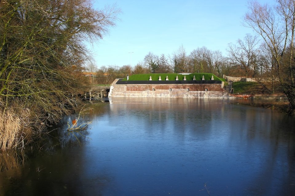
The four Lunetten forts are situated to the southeast of the city of Utrecht, and were built between 1822 and 1828. These four, crescent moon-shaped forts form part of the New Dutch Waterline, which was intended to protect the Netherlands against enemies from the east. The country could be defended in times of war by flooding large areas of the land along this defence line.
Waterline
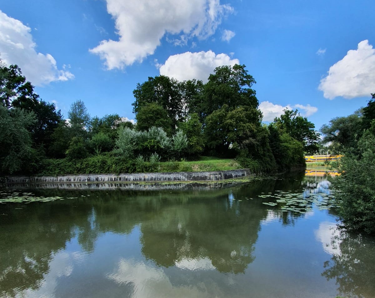
The four forts are situated close together on the Houtense Vlakte plain, southeast of Utrecht. Because the Houtense Vlakte is higher than the surrounding area, this section could not be sufficiently flooded. To make up for this, four identical defensive structures were built within a short distance of each other.
The word ‘lunet’ comes from the French word for moon, ‘lune’. When you look at a map of the forts, you can see they are shaped like crescent moons.
Lunet 1
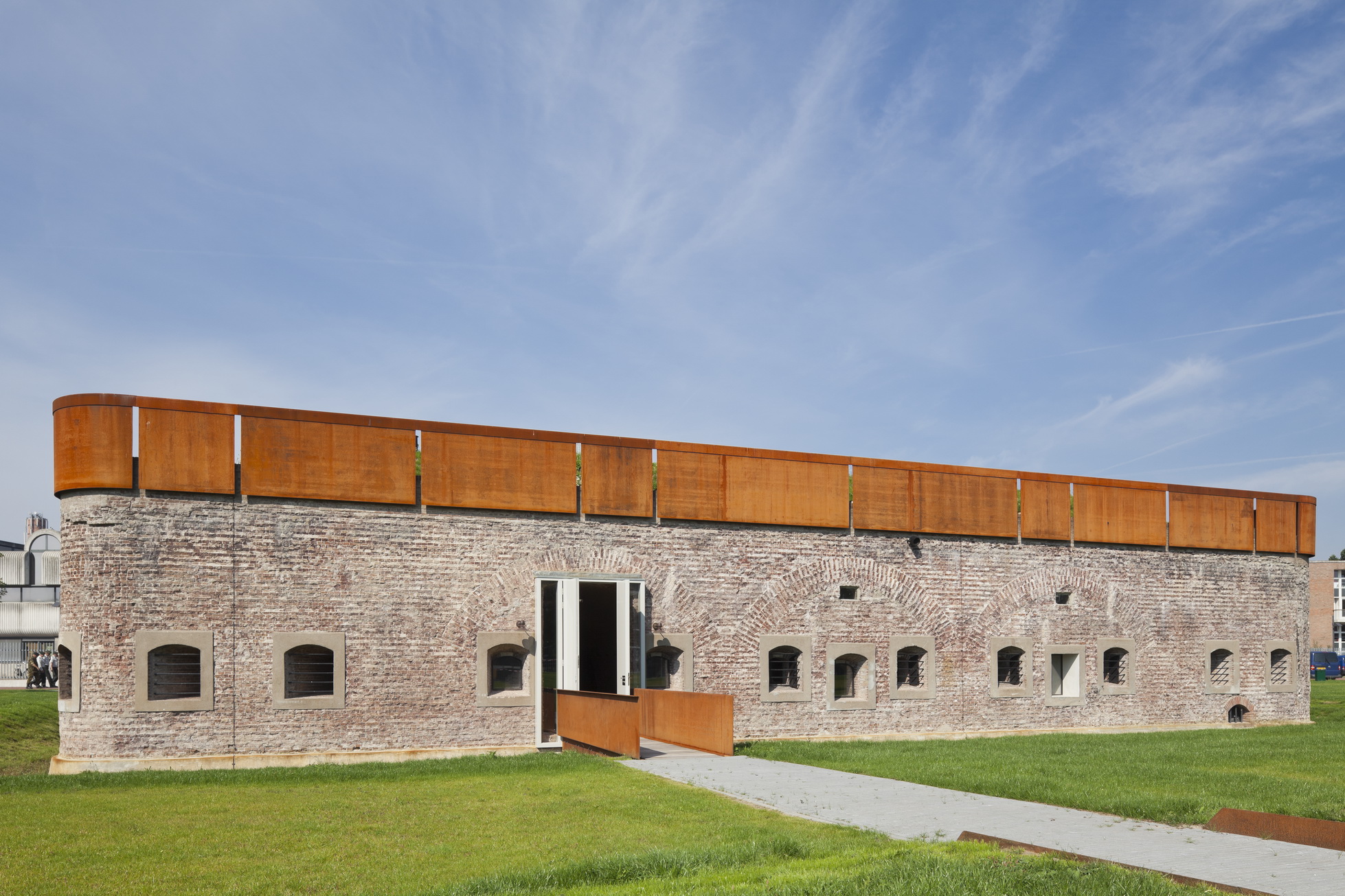
The four Lunetten forts are each surrounded by a water-filled moat. Special about Lunet 1 is that, on top of it, there is also a nuclear bunker. It was built in the 1960s, during the Cold War. The bunker housed the commander of the Utrecht branch of Civil Defence. The nuclear bunker is currently the headquarters of the Foundation Peace Education Projects (Stichting Vredesorganisatie).
Address
Oude Liesbosweg 68
3524 SB Utrecht

